How to Mark Fishing Spots With GPS: A Complete Guide for Anglers
Learn how to mark fishing spots with GPS using waypoints, coordinates, and mapping tools. This guide explains GPS fishing marks, tips, and best practices.
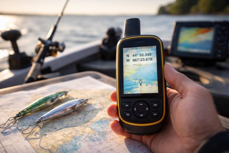
Learn how to mark fishing spots with GPS using waypoints, coordinates, and mapping tools. This guide explains GPS fishing marks, tips, and best practices.
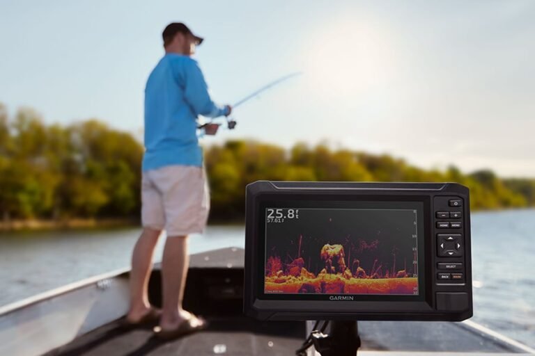
Learn how to use GPS for fishing to find productive areas, save fishing spots, navigate safely, and improve your time on lakes, rivers, and coastal waters.
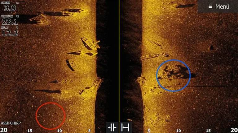
Learn what is side imaging on a fish finder, how side imaging sonar works, its benefits, limits, and how anglers use it to find fish and structure.
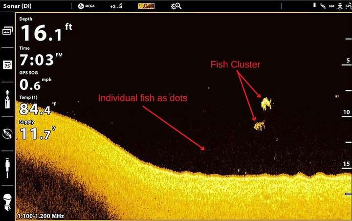
Learn what is down imaging on a fish finder, how it works, what it shows, its benefits, limitations, and how anglers use down imaging sonar to find fish and structure.
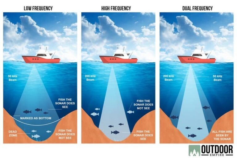
Learn how sonar frequency affects fish finding, including high and low frequencies, depth range, target detail, beam coverage, and how anglers choose the best sonar settings.
Learn what is sonar cone angle, how sonar beams work, why cone width matters, and how to choose the right fish finder cone angle for better fishing results.
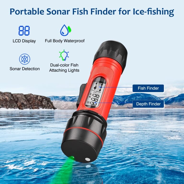
Learn how fish finders measure water depth using sonar, sound waves, transducers, and echo timing. Understand depth readings, accuracy factors, and common mistakes.
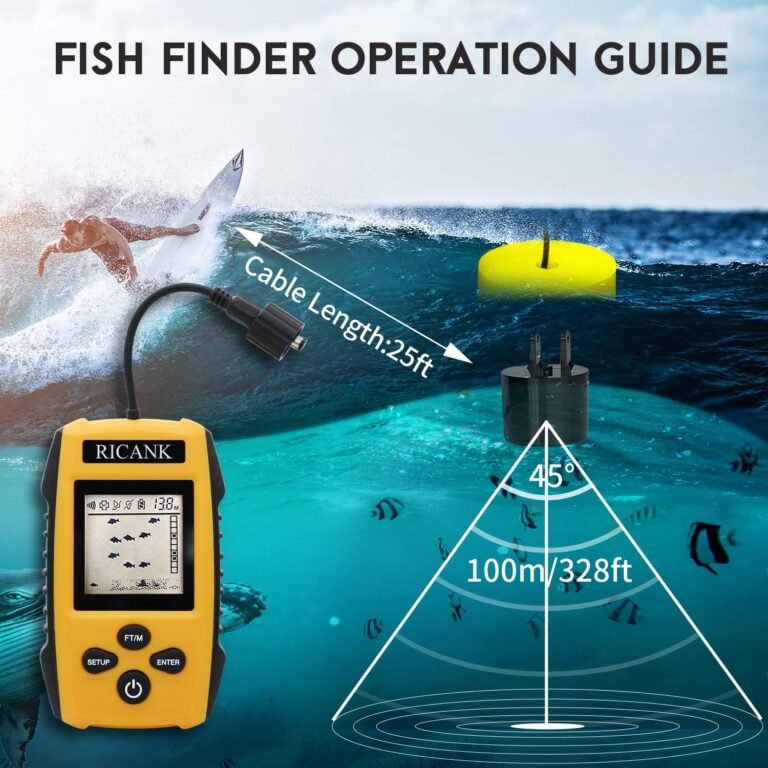
Learn what fish finder depth readings mean, how sonar measures water depth, and how anglers can use depth data to find fish, structure, and better fishing spots.
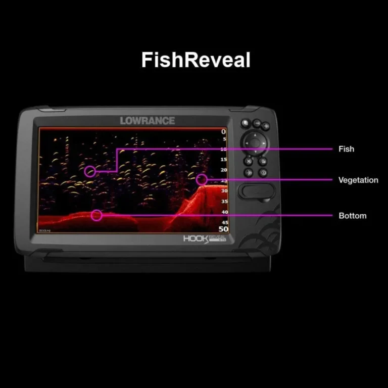
Learn what do arches mean on a fish finder, why fish appear as arches, how to read sonar signals, and how to use arches to find fish more effectively.
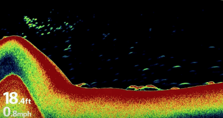
Learn how to identify bottom structure on sonar by reading sonar returns, understanding hardness, recognizing rocks, weeds, drop-offs, and finding fish-holding areas.