How to Use Lake Maps for Fishing: A Complete Guide to Finding Fish
Learn how to use lake maps for fishing to find fish-holding areas, read contours, locate structure, plan trips, and improve your success on U.S. lakes.
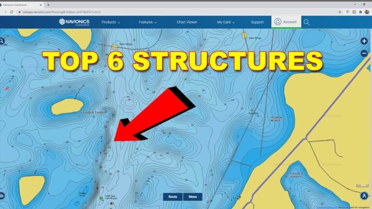
Learn how to use lake maps for fishing to find fish-holding areas, read contours, locate structure, plan trips, and improve your success on U.S. lakes.
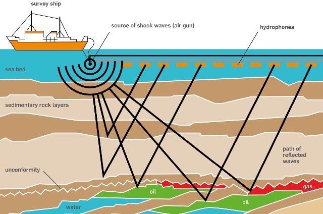
Learn how to find underwater contours using maps, sonar, GPS, and fish finders. Discover how contour lines reveal depth changes, structures, and productive fishing areas.
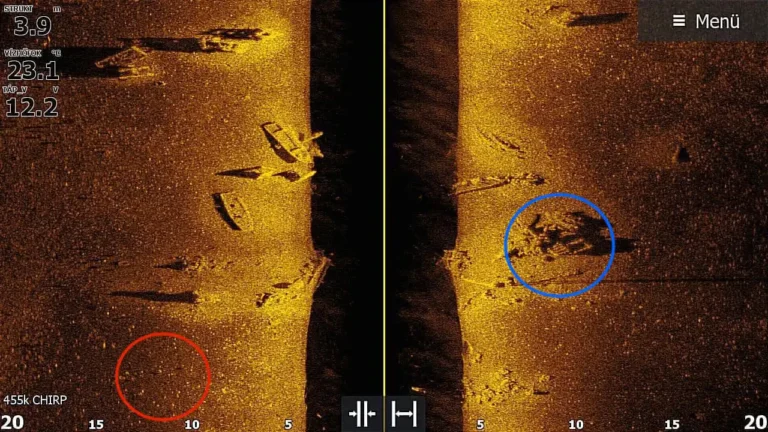
Learn what is side imaging on a fish finder, how side imaging sonar works, its benefits, limits, and how anglers use it to find fish and structure.
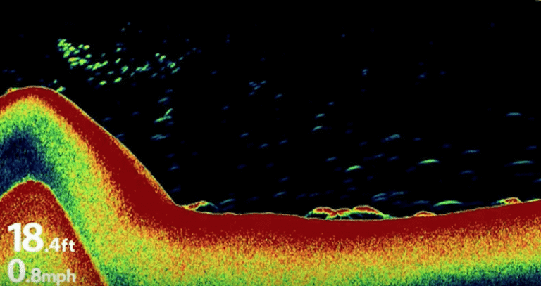
Learn how to identify bottom structure on sonar by reading sonar returns, understanding hardness, recognizing rocks, weeds, drop-offs, and finding fish-holding areas.
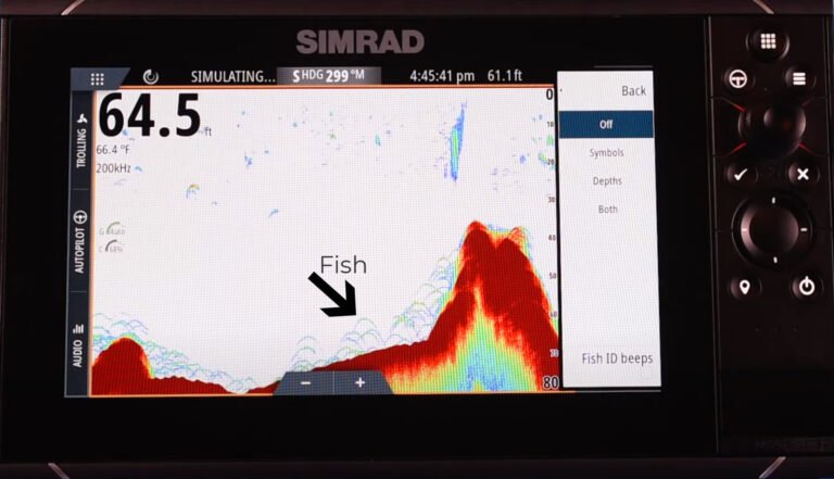
Learn how to read fish finder signals with this detailed guide. Understand sonar images, fish arches, depth readings, bottom structure, and sonar settings.