Learning how to mark fishing spots with GPS can change the way anglers explore lakes, rivers, and coastal waters. Instead of trying to remember a hidden reef, brush pile, drop-off, or productive shoreline, you can save the exact location and find it again.
Many U.S. anglers use GPS units, chartplotters, and fish finder systems to build personal fishing maps. From weekend bass trips to offshore saltwater adventures, GPS marks help turn random searching into a planned approach.
What Does Marking a Fishing Spot With GPS Mean?
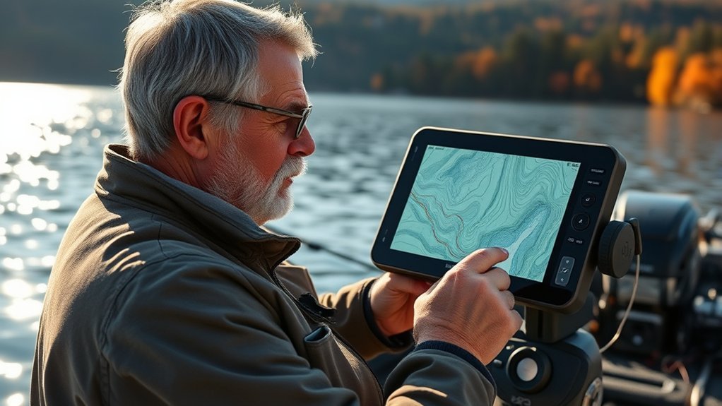
Marking a fishing spot with GPS means saving a location as a waypoint on a GPS device or fishing app. A waypoint stores the exact latitude and longitude of a place you want to visit again.
When anglers learn how to mark fishing spots with GPS, they create a digital fishing log. These saved points can include areas with fish activity, underwater structures, safe routes, and seasonal patterns.

- ✦ Waypoint
A saved GPS location that lets you return to a specific fishing area.
- ✦ GPS Coordinate
A set of numbers showing the exact position of a location on Earth.
- ✦ Fishing Mark
A saved point that represents a useful fishing location or feature.
Why GPS Waypoints Matter for Anglers
Fish often gather around repeatable features such as rock piles, ledges, channels, and vegetation. GPS waypoints help you find these areas again without wasting time searching.
A good GPS fishing system also helps you compare results over time. You can see which spots produce during different seasons and weather conditions.
- ✦ Save productive areas
Record locations where you catch fish or find promising underwater features.
How to Mark Fishing Spots With GPS Step by Step
The basic process for how to mark fishing spots with GPS is simple. Most marine GPS units and fishing apps use a waypoint button or save-location option.
The best time to create a mark is when you are directly over the spot. This gives you the most accurate location data and reduces mistakes later.

- ✦ Find the location
Use your GPS, fish finder, or mapping app to identify the fishing area.
- ✦ Save the waypoint
Press the mark or waypoint button to store the location.
- ✦ Add details
Use notes, names, icons, or colors to describe the spot.
- ✦ Check accuracy
Confirm the GPS mark matches the actual fishing area before leaving.
Naming GPS Fishing Spots Correctly
A clear naming system makes your fishing map easier to use. Instead of saving points with random numbers, create names that explain the location.
Many experienced anglers use names based on structure, depth, species, or season. For example, a name like “Bass Rock Pile 18ft Spring” provides useful information at a glance.
- ✦ Use simple names
Choose labels that are easy to understand while on the water.
Using GPS Coordinates and Waypoints to Build a Fishing Map
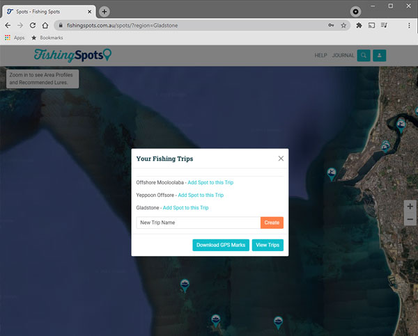
A personal fishing map is one of the biggest benefits of learning how to mark fishing spots with GPS. Over time, your saved waypoints become a record of your experience.
You can organize marks by fish species, water depth, season, or fishing technique. This makes it easier to plan future trips.
- ✦ Organize by species
Create groups for bass, walleye, trout, redfish, or other target fish.
- ✦ Record conditions
Save notes about water temperature, weather, bait, and successful methods.
- ✦ Review old spots
Use past data to identify patterns and improve future trips.
Combining GPS With Fish Finders
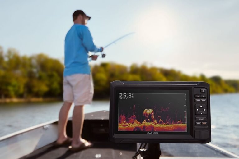
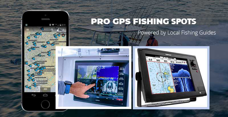
Many modern fish finders include GPS chartplotters that allow anglers to mark locations while viewing sonar data. This combination helps connect visible underwater information with exact locations.
When you see a promising structure or fish group on sonar, saving a waypoint immediately prevents you from losing the location.
- ✦ Mark sonar discoveries
Save locations where the fish finder shows useful structure or activity.
Best Practices for Accurate GPS Fishing Marks
Accurate waypoints are more useful than a large collection of random marks. A few reliable locations with good notes can be more valuable than hundreds of unknown points.
When considering how to mark fishing spots with GPS, focus on quality information. A waypoint should tell you why the location matters.
- ✦ Mark exact positions
Save the point where the fish, structure, or feature is actually located.
- ✦ Add fishing notes
Include details such as lure type, depth, and successful conditions.
- ✦ Back up your data
Export waypoints or sync them with a fishing app when possible.
Common GPS Marking Mistakes
One common mistake is saving a waypoint too far from the target area. Small errors can make a big difference when searching for a small piece of structure.
Another mistake is failing to organize saved locations. Without clear labels, even good fishing spots become difficult to use later.
- ✦ Avoid messy maps
Remove old or unhelpful marks to keep your GPS system organized.
How to Transfer and Share GPS Fishing Spots
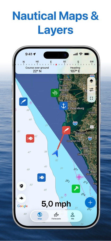
Many anglers want to move fishing spots between devices. Most GPS units and apps allow waypoint transfers through memory cards, cloud syncing, or mobile connections.
Learning how to mark fishing spots with GPS also includes learning how to protect your data. Keep private fishing locations backed up and share them carefully.
- ✦ Export waypoints
Save GPS data in a compatible file format for another device.
- ✦ Sync apps
Use supported fishing apps to keep maps updated across devices.
Keeping Your Fishing Spots Organized
A simple folder system can make hundreds of waypoints easier to manage. Separate spots by lake, region, species, or season.
Good organization saves time when you are preparing for a fishing trip.
- ✦ Create categories
Group similar fishing locations together for faster access.