Learning how to use GPS for fishing can change the way anglers explore lakes, rivers, and coastal waters. A GPS unit helps you save locations, plan routes, and spend more time fishing instead of searching.
Many experienced anglers use GPS as a digital fishing notebook. Over years on the water, marking productive areas such as drop-offs, weed lines, brush piles, and rock piles can create a personal map of proven locations.
What Is GPS and Why Is It Useful for Fishing?
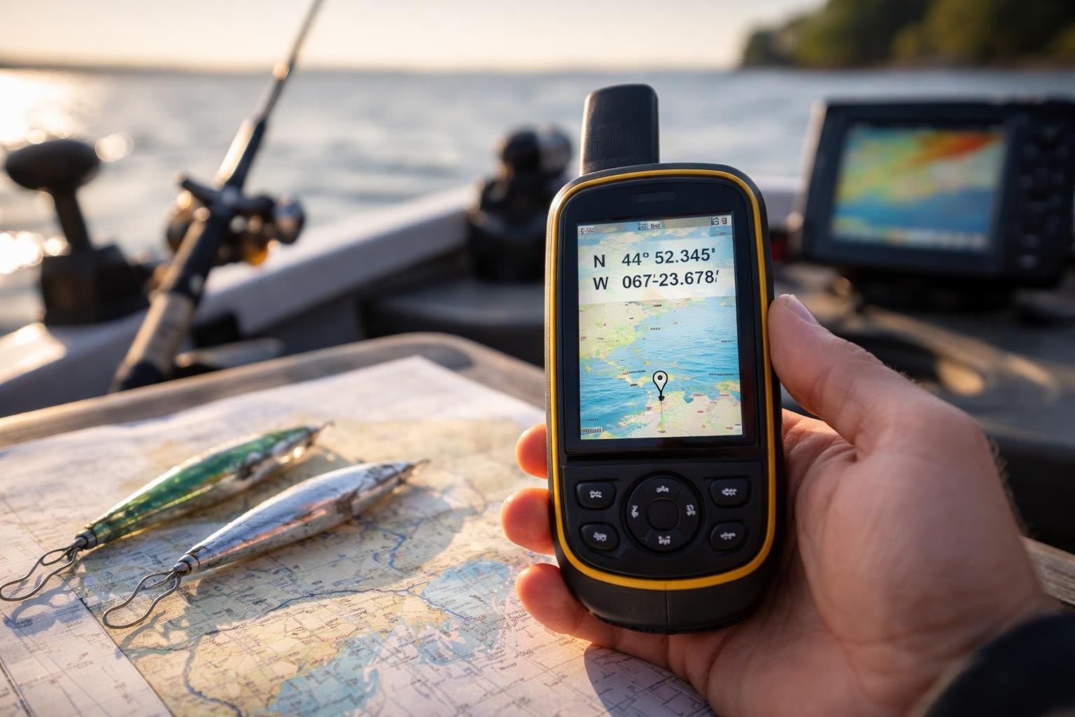
GPS, or Global Positioning System, uses signals from satellites to show your location on Earth. In fishing, GPS connects your boat or handheld device with digital maps to help you navigate and save important areas.
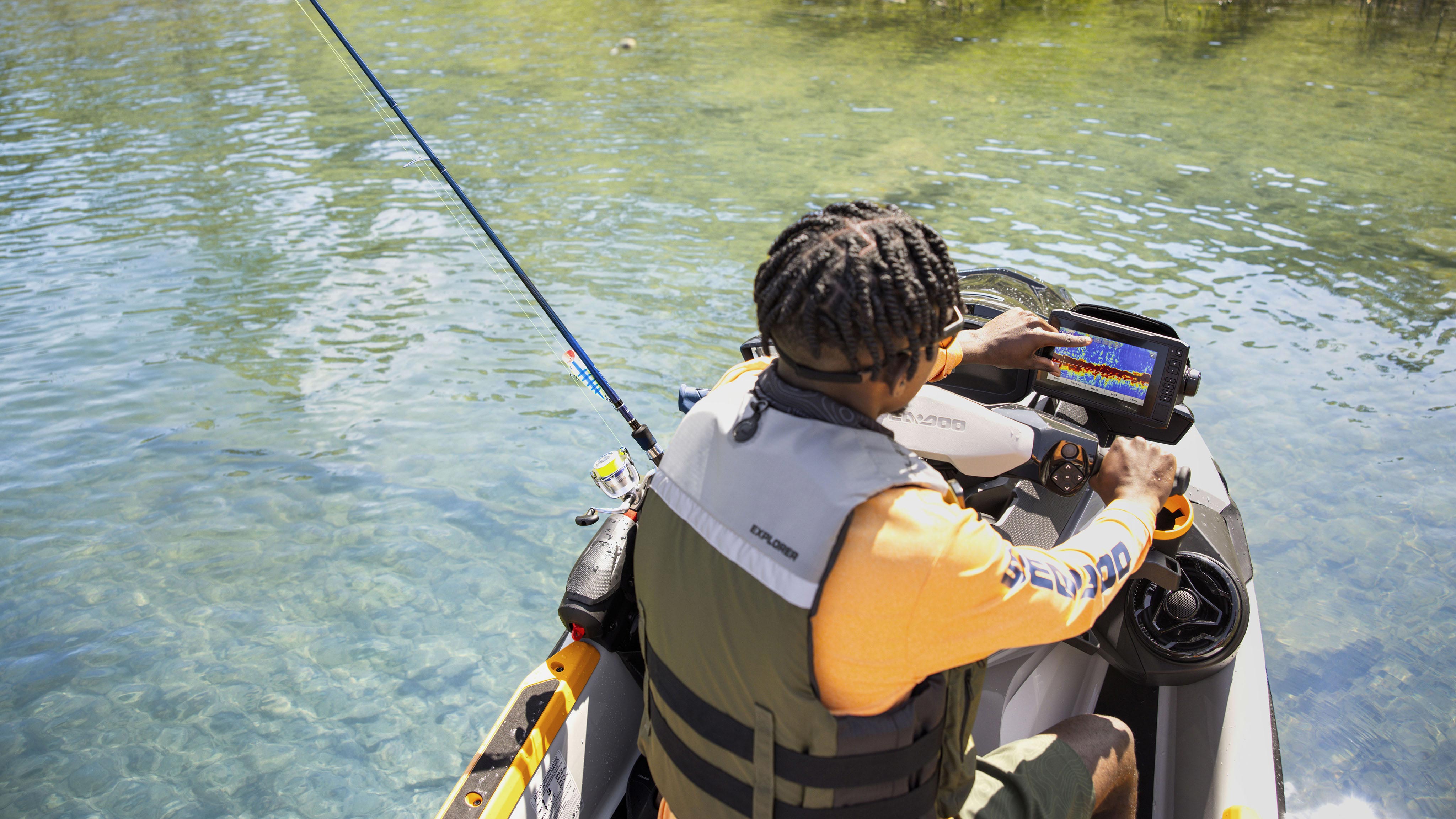
Understanding how to use GPS for fishing starts with knowing that GPS does not find fish by itself. Instead, it helps you return to areas where fish may be located and combine location data with tools like sonar and fish finders.
- ✦ Location tracking
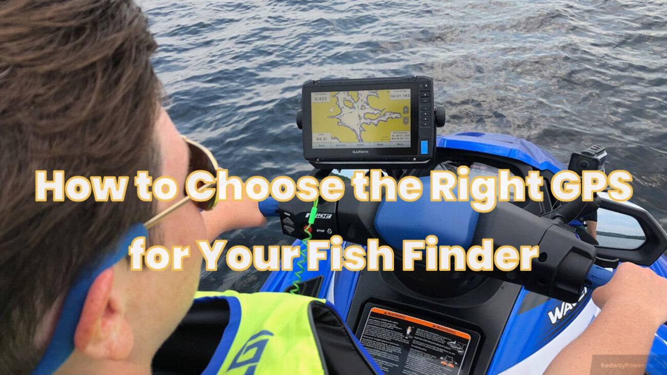
GPS shows your exact position so you can navigate unfamiliar water with confidence.
- ✦ Spot saving
Anglers can save fishing locations as waypoints and revisit them later.
- ✦ Route planning
GPS allows you to create safe paths between launch points and fishing areas.
GPS vs Fish Finder Technology
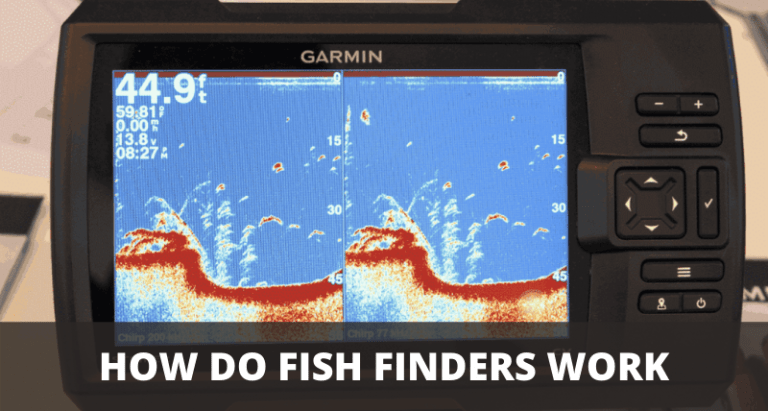
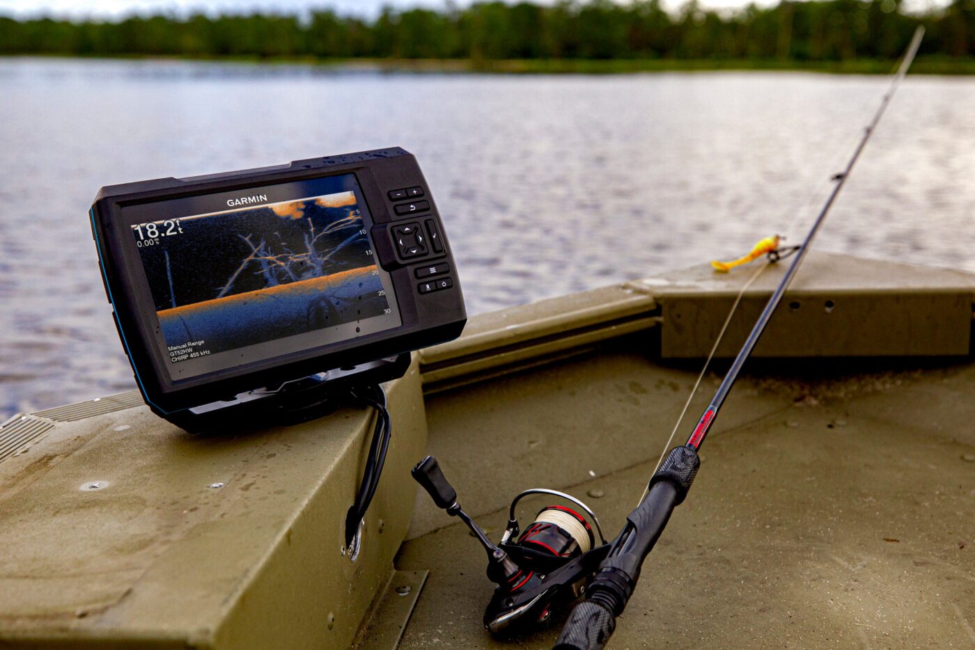
A fish finder uses sonar to detect underwater objects, depth changes, and possible fish targets. GPS provides location information, so many modern units combine both technologies in one display.
- ✦ GPS role
Shows where you are and where you want to go.
- ✦ Sonar role
Shows what is below the boat or kayak.
How to Set Up a GPS Unit for Fishing
Before using GPS on the water, take time to set up the device correctly. A simple setup makes learning how to use GPS for fishing much easier.
Most marine GPS units allow you to adjust map views, depth settings, icons, and tracking options. Check your owner’s manual and test the system before heading out.

- ✦ Update maps
Install current map data to improve accuracy and view important water details.
- ✦ Set units
Choose measurements such as feet, miles, or nautical miles based on your needs.
- ✦ Test tracking
Confirm that your GPS records movement and saves locations properly.
Choosing the Right GPS Device
Boat anglers often choose chartplotters with large screens, while kayak and shore anglers may prefer compact handheld GPS devices or smartphone apps.
- ✦ Boat GPS
Best for navigation, mapping, and integration with marine electronics.
- ✦ Handheld GPS
Useful for portability and backup navigation.
How to Use GPS Waypoints to Find Fishing Spots
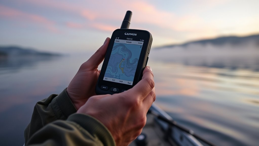
Waypoints are saved GPS locations that help anglers return to important areas. They are one of the most valuable features to understand when learning how to use GPS for fishing.
A waypoint can mark anything useful, including a successful catch location, a structure area, a boat ramp, or a safe channel. Many anglers build waypoint collections over years of fishing.
- ✦ Mark productive areas
Save locations where you catch fish or notice promising underwater features.
- ✦ Organize locations
Use different icons or names for bass spots, reefs, docks, and hazards.
- ✦ Review past trips
Study saved locations to improve future fishing plans.
Creating Better Waypoints
Do not only save the exact place where you caught one fish. Record nearby details such as water depth, weather, season, and lure choice when possible.
- ✦ Add notes
Extra information helps you understand why a location worked.
Using GPS Maps to Find Better Fishing Areas
Modern GPS maps show underwater contours, channels, points, and structures that can help anglers locate likely fish habitats. These details are especially useful when fishing unfamiliar waters.
When learning how to use GPS for fishing, study map features before your trip. Planning ahead helps you identify areas worth exploring instead of randomly moving around.
- ✦ Contour lines
Show depth changes where fish often move and feed.
- ✦ Structure locations
Help identify areas such as reefs, ledges, and submerged cover.
- ✦ Navigation markers
Improve safety around channels and hazards.
Combining GPS With Sonar
The strongest fishing setups combine GPS mapping with sonar. GPS tells you where you are, while sonar helps explain what is happening underwater.
- ✦ Complete picture
Together they provide location and underwater information.
How GPS Improves Fishing Safety and Navigation
GPS is not only a fishing tool. It is also an important safety device. It helps anglers return to the launch area, follow safe routes, and avoid getting lost in poor visibility.
Knowing how to use GPS for fishing includes practicing navigation skills before emergencies happen. A GPS unit works best when you understand its basic functions.
- ✦ Return routes
Track your path so you can safely travel back.
- ✦ Emergency help
Saved coordinates can help others locate your position.
- ✦ Night navigation
GPS assists with travel when landmarks are difficult to see.
Common GPS Mistakes to Avoid
Some anglers depend too heavily on technology and forget basic navigation skills. Keep paper charts, safety gear, and backup power when fishing far from shore.
- ✦ Ignoring updates
Old maps may not show current conditions.