How to Identify Productive Areas on a Lake Map: A Complete Fishing Guide
Learn how to identify productive areas on a lake map by reading contours, structure, depth changes, vegetation, and fish habitat clues to find better fishing spots.
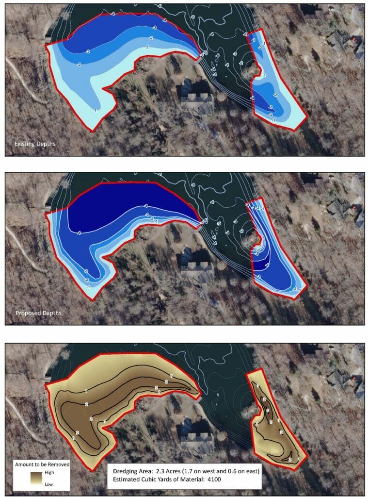
Learn how to identify productive areas on a lake map by reading contours, structure, depth changes, vegetation, and fish habitat clues to find better fishing spots.
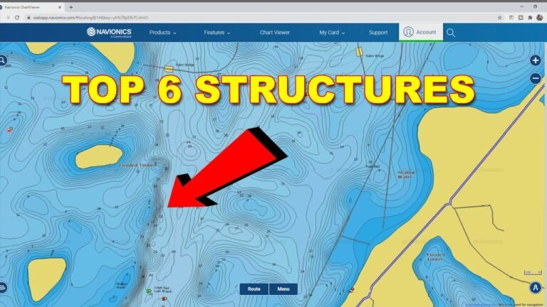
Learn how to use lake maps for fishing to find fish-holding areas, read contours, locate structure, plan trips, and improve your success on U.S. lakes.
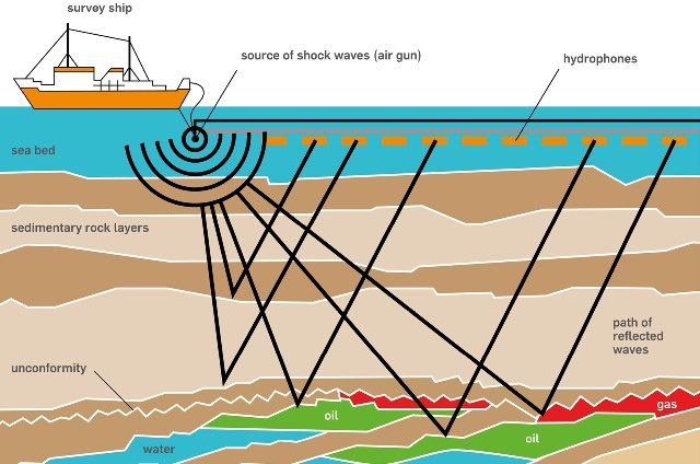
Learn how to find underwater contours using maps, sonar, GPS, and fish finders. Discover how contour lines reveal depth changes, structures, and productive fishing areas.
Learn what are fishing waypoints, how GPS waypoints work, why anglers use them, and how to mark, organize, and use fishing spots for better results.
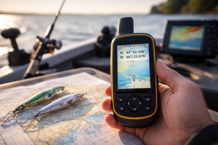
Learn how to mark fishing spots with GPS using waypoints, coordinates, and mapping tools. This guide explains GPS fishing marks, tips, and best practices.
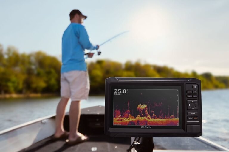
Learn how to use GPS for fishing to find productive areas, save fishing spots, navigate safely, and improve your time on lakes, rivers, and coastal waters.